Is this the deserts toughest track?
By Glenn MarshallArticle from Unsealed 4X4
The final track built by Len Beadell and the Gunbarrel Road Construction Party in 1963 and ranked in Hema’s Top 5 of Australia’s Toughest 4WD Tracks, the Talawana Track should never be underestimated, you could lose your life. The number of burnt-out vehicles along the track is a testament to the challenges faced by those attempting this track. Bring it on, oh and I’m doing it solo.
My jump-off point was Well 33 on the Canning Stock Route, a mighty challenging track on its own. There are two options to reach the Gary Highway. Jump on Jenkins Track and travel 65km to Gary Junction in about an hour, before turning right. The second option is slower, gnarlier and angrier and takes a minimum of two hours to travel 65km to the Gary Highway. Of course, I chose this option, and I have never felt so alone.
The vastness of the Gibson Desert and spinifex plains, the washouts and corrugations, it felt amazing. I followed camel footprints for most of the way, but all I saw were handfuls of geese – weird. Sections of this track reminded me of the Connie Sue Highway. Tight track, pin-striping, changing speeds, it was just missing the Golden Orb spiders.
The Gary Highway is typical Len Beadell and the Gunbarrel Road Construction Party. You follow the swales amongst the dunes, and where you cross the dunes, they’re capped with local stone. The Ghost Gums stand out amongst the spinifex and burnt orange dunes, gorgeous.
Wormy Whau Whau Well, strange name and Harry and I argued about the meaning behind it, or whether it was a native well. Both of us were wrong. It turns out Wormy was the driller, and Whau Whau was the motorman. The well was sunk on 20th April 1970 but has since been capped. It’s a decent place to camp amongst the ghost gums with enough space for a large group.
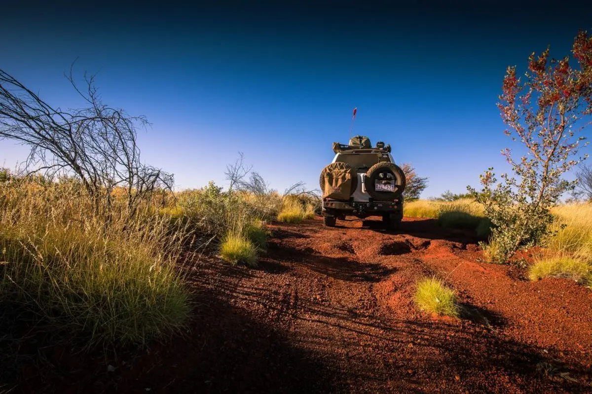
The track becomes extremely closed in before a burnt-out section from a recent cold fire, in the same place as an old burnt out G60 Patrol. It then deteriorates, the spinifex gets higher and the trees more violent. If you don’t have pinstripes on your vehicle, you will have plenty by the time you reached Windy Corner. Ironically Windy Corner was hardly blowing a breeze; it was the calmest spot of all.
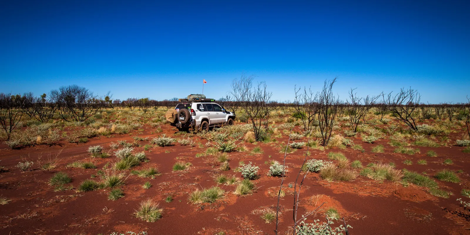
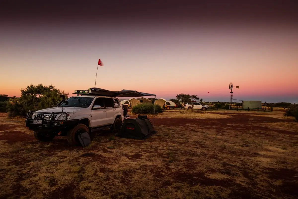
Turning onto the Talawana Track, there was a good camp spot not too far along amongst a copse of trees. Continuing for another 20 clicks, enjoying an open track with manageable corrugations, I stopped at a great campsite marked on my Hema X-1. Ample space, off the road, a bit of wood and some shade. It wasn’t very private, but I don’t think that is a problem out here. A couple of small kangaroos came out to graze at dusk, the first I’d seen in over one thousand kilometres.
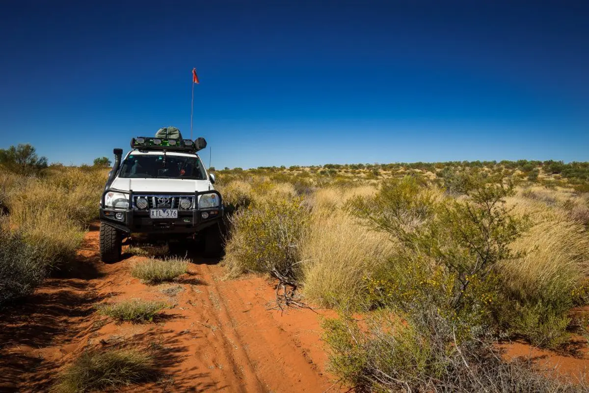
Next day, the centre of the track is spinifex, in some places higher than the bullbar. As a precaution, I stop every hour or so, crawl underneath the vehicle and check for any grass stuck in any nooks or crannies, especially near the exhaust. I also clear any spinifex from my radiator. If you don’t have a brush, a stick works well, just be careful of the radiator fins. A tarp is handy for these jobs too.
DESTINATION DETAILSWHERE: East Pilbara. The track runs from Windy Corner on the Gary Highway to Newman a distance of around 635km; allow and extra 100km.
SUPPLIES & FACILITIES: Fuel and limited supplies are available at Kunawarritji and Parnngurr. Times are generally Monday to Friday daylight hours and Saturday morning.
CAMPING: There’s camping at Well 33 and Georgia Bore on the CSR as well as many bush camps along the Gary Highway and Talawana Track. The Hema HX-1, Hema apps and Hema maps all have suitable camp spots marked.
BEST TIME: Milder months from May to September
TRIP STANDARD: This track is extremely remote, has severe corrugations, washouts, soft sand and salt pans. You will need to be self-reliant, have suitable recovery gear, satellite phone/HF Radio, EPIRB, Remote First Aid Kit, Extra food and water. Your vehicle will be severely scratched by the end of the track. Travelling solo is not recommended.
PERMITS: No permits are required to travel the Talawana Track
MORE INFO: Kunawarritji phone: (08) 9176 9040Purnngurr phone: (08) 9176 9051