The Simpson Desert: Australia's Iconic Dune Crossing
Just 35 kilometres from Birdsville, the Simpson Desert announces itself in spectacular fashion. Cresting Big Red as the first rays of sunlight ignite the sand or watching the dunes glow deep crimson at sunset is a moment every desert traveller remembers. Rising from the surrounding country, Australia's most famous dune is both a challenge and a reward, drawing first-time adventurers and seasoned crossers back year after year.
But the Simpson Desert is much more than a single dune. It spans three states and is home to more than 1,100 parallel sand ridges. For 4WDers, it demands preparation, respect and a capable setup. So, whether it’s your first crossing or if you’re fine-tuning your next one, this guide will cover everything you need to know before rolling onto the sand.
From the Simpson to the High Country
We cover anywhere you can legally go in Australia
We’ll cover the best time to tackle the desert, the permits and regulations you’ll need to know, how to prepare your vehicle and recovery gear, what route options are available, how to stay safe and self-sufficient in remote country, and the unique attractions that make a Simpson crossing one of Australia’s all-time 4WD adventures.
Because while Big Red may be the icon, it’s the journey across the vast red heart beyond it that keeps people coming back.
Where is the Simpson Desert?
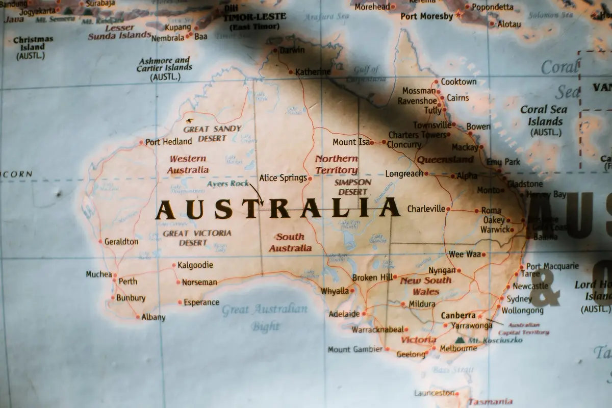
A map of Australia, including the Simpson Desert
So, where is the Simpson Desert? Spreading 176,500 square kilometres across central Australia, it spans the borders of the Northern Territory, South Australia and Queensland. For most travellers, accessing the desert is possible through a few gateway towns in each state.
Birdsville in Queensland is the most iconic starting point and home to the famous Big Red. From South Australia, many adventurers enter via Mt Dare, Oodnadatta, William Creek or Marree, while those approaching from the Northern Territory often pass through Finke or Alice Springs before heading south. Each route offers a slightly different experience, but all deliver those classic outback landscapes.
To put the Simpson’s scale into perspective, it’s larger than many countries and covers an area bigger than Tasmania. Once you’re in there, the distances quickly become apparent. Fuel stops? Scarce. Mobile reception? Virtually non-existent. Thousands of rolling dunes? One of the most rewarding 4WD challenges on the planet. It’s that combination of size, isolation and beauty that has cemented the Simpson Desert’s reputation as an iconic bucket-list crossing for off-road travellers all around the world.
Simpson Desert Tracks and Maps Explained
For anyone with a capable 4WD, the Simpson Desert can be explored via a number of routes. The main routes are the French Line, WAA Line, Rig Road, K1 Line and QAA Line, with each offering a different balance of distance, dune crossings and terrain. Most crossings link South Australia’s Mount Dare with Queensland’s Birdsville, although there are several variations that combine different tracks along the way. Understanding how each route differs will help you choose a crossing that suits your experience level, available time and vehicle setup. A map of the Simpson Desert makes comparing these tracks far easier.
Most people arrive dreaming about Big Red, but it's what lies beyond that leaves the lasting impression. Hundreds of dunes, endless horizons and complete self-reliance combine to make the Simpson Desert one of Australia's great 4WD adventures.
Traditionally, the Simpson Desert is traversed west to east, finishing at Birdsville and tackling the iconic Big Red as the final dune. However, east to west crossings aren’t uncommon, sometimes offering easier dune approaches depending on the season. Regardless of direction, track conditions can change significantly between years due to weather, traffic and maintenance, so current information is essential before departure.
The Main Tracks Across the Simpson
French Line
This is the most direct route across the Simpson and the one most travellers will think of first. It crosses hundreds of dunes in quick succession, often with short distances between crests, making it the most demanding route in terms of constant dune work. It’s best suited to travellers looking for the shortest crossing between Mount Dare and Birdsville.
QAA Line
Named after a seismic survey line cut through the desert by Delhi Petroleum in 1979, the QAA Line connects Birdsville and Poeppel Corner and includes some of the desert’s most well-known dunes, including Big Red. While it’s often used as the eastern entry or exit point of a crossing, it still requires careful tyre pressure management and momentum over soft sand.
WAA Line
Also named after a Delhi Petroleum survey line, the WAA Line generally sees less traffic, therefore offering a quieter crossing. The dunes can be equally challenging in places, but the route provides a more remote feel for those wanting additional time in the desert.
Rig Road
The Simpson Desert has a strong oil history, and the Rig Road is no different. No, it wasn’t named after the 4WDs that travel it now, but the drilling rigs that it was built to accommodate during the early 1960s. It follows old clay-capped sections that can make travel easier in some areas and is often chosen by those looking for a slightly less demanding desert experience.
K1 Line
Yup, another line forged during oil and gas exploration. The K1 Line runs north-south through the eastern side of the desert and is commonly used to link other routes together. Rather than being a complete crossing of its own, it provides flexibility when planning longer or customised itineraries.
Choosing the Right Maps and Navigation
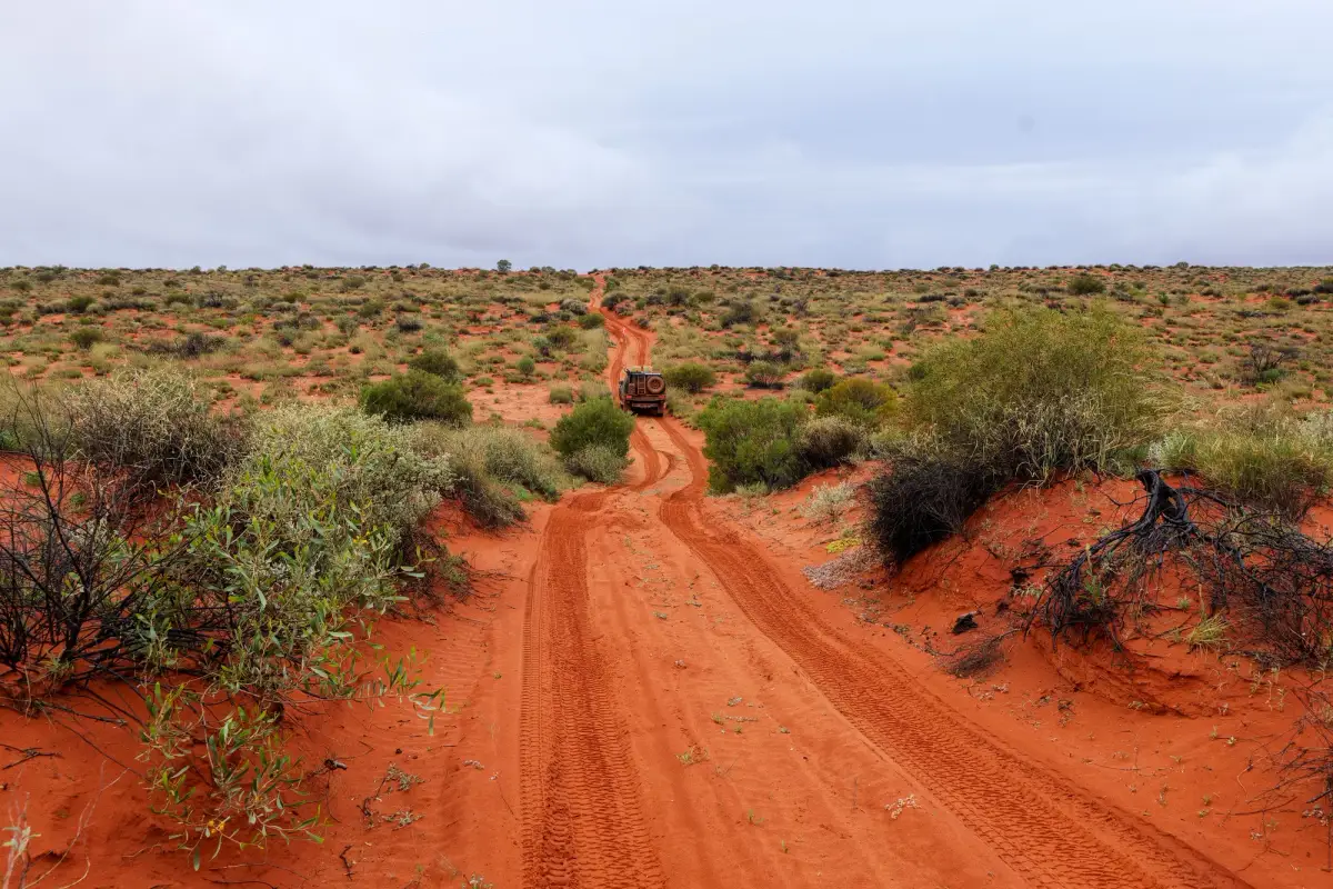
Simpson Desert, Australia
Because of its remote nature, navigating the Simpson can prove a true test. Always carry a current paper Simpson Desert map as a backup, use a dedicated GPS where possible, and load offline mapping apps like Hema Explorer before leaving reception. Many experienced travellers will carry both a Hema and Westprint map of the Simpson Desert, ensuring they have navigation options if electronics fail.
Staying safe doesn’t just mean not getting lost. It’s also driving etiquette. Use the designated UHF 10 channel for the region to announce your position when approaching large dunes, and always fly an elevated sand flag so oncoming vehicles can see you before reaching a crest.
Finally, log key waypoints throughout your trip. Mark fuel stops, campsites, water points, recovery locations and known emergency exits. If plans change or assistance is needed, accurate waypoint data can save valuable time in one of Australia’s most remote touring destinations.
The Best Time to Cross the Simpson Desert
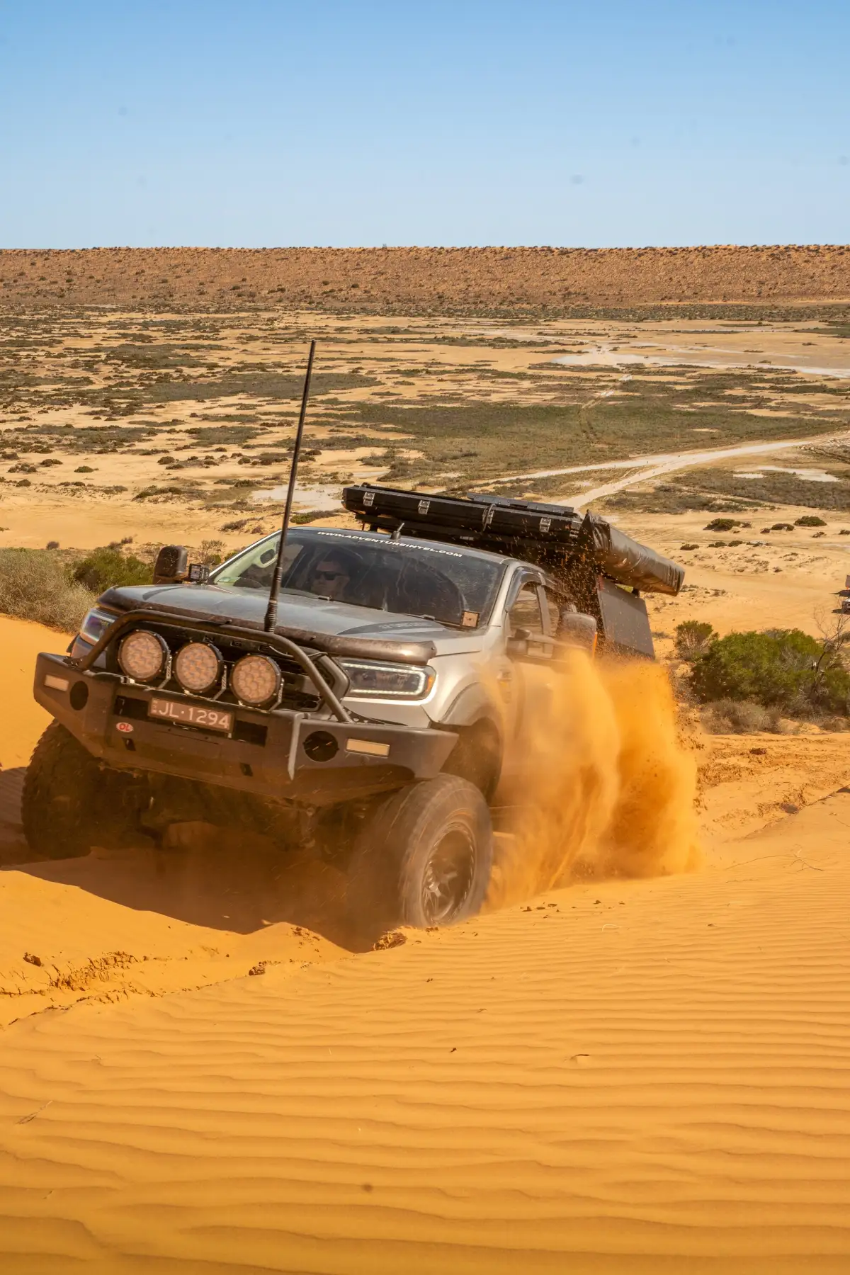
A 4X4 Ford Ranger ute driving up a sand dune in the Simpson Desert, Australia
Generally, the best time to cross the Simpson Desert is between May and September. This is when temperatures are cooler, making long days behind the wheel far more manageable. Winter brings mild daytime conditions, comfortable camping weather and a significantly lower risk of heat-related vehicle (and human) issues.
In contrast, summer is not the time a crossing should be attempted. Daytime temperatures regularly soar well beyond 40°C, placing extreme stress on both people and vehicles. Soft sand becomes more challenging, water consumption increases, and a simple mechanical issue can quickly become a serious safety concern. To reduce these risks, the Simpson Desert Regional Reserve and Conservation Park typically close from 1 December to 15 March, with many tracks inaccessible throughout this period.
Whenever you choose to travel, organise permits well in advance and monitor track conditions before departure. Weather events can affect access and permit requirements can change between seasons.
Preparing Your 4X4 and Your Convoy
A successful Simpson Desert crossing takes preparation. Long before you reach the first dune, your tyres, suspension, fuel range, battery capacity and communications should all be assessed. A mechanically sound vehicle with appropriate tyres and a reliable UHF radio will make your trip safer and more enjoyable.
Of particular importance is fuel planning. Depending on your chosen route and vehicle, a standard fuel tank may not provide enough range for several hundred kilometres of low-range sand driving. Long-range fuel tanks, jerry cans and accurate fuel calculations are common parts of a Simpson setup. Dual-battery systems are also popular, helping to power fridges, camp lighting and other accessories during multi-day crossings.
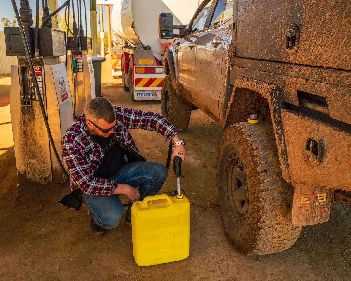
Josh Leonard of Adventure Intel Australia filling a yellow jerry can at an outback fuel station
While this preparation is important and should always come first, remote travel comes with inherent risks. That’s why at Club 4X4, we’ve included off-road recovery as a standard inclusion in our insurance policies. This gives you some extra protection when you’re travelling well beyond the blacktop.
Vehicle Setup and Recovery Gear
Every vehicle entering the Simpson should carry recovery equipment suitable for soft-sand travel. Essential items include:
- Recovery tracks
- Snatch strap and rated recovery points
- Long-handled shovel
- Sand flag
- Air compressor and tyre deflator
- At least one full-size spare tyre, preferably two
- Basic tool kit and puncture repair kit
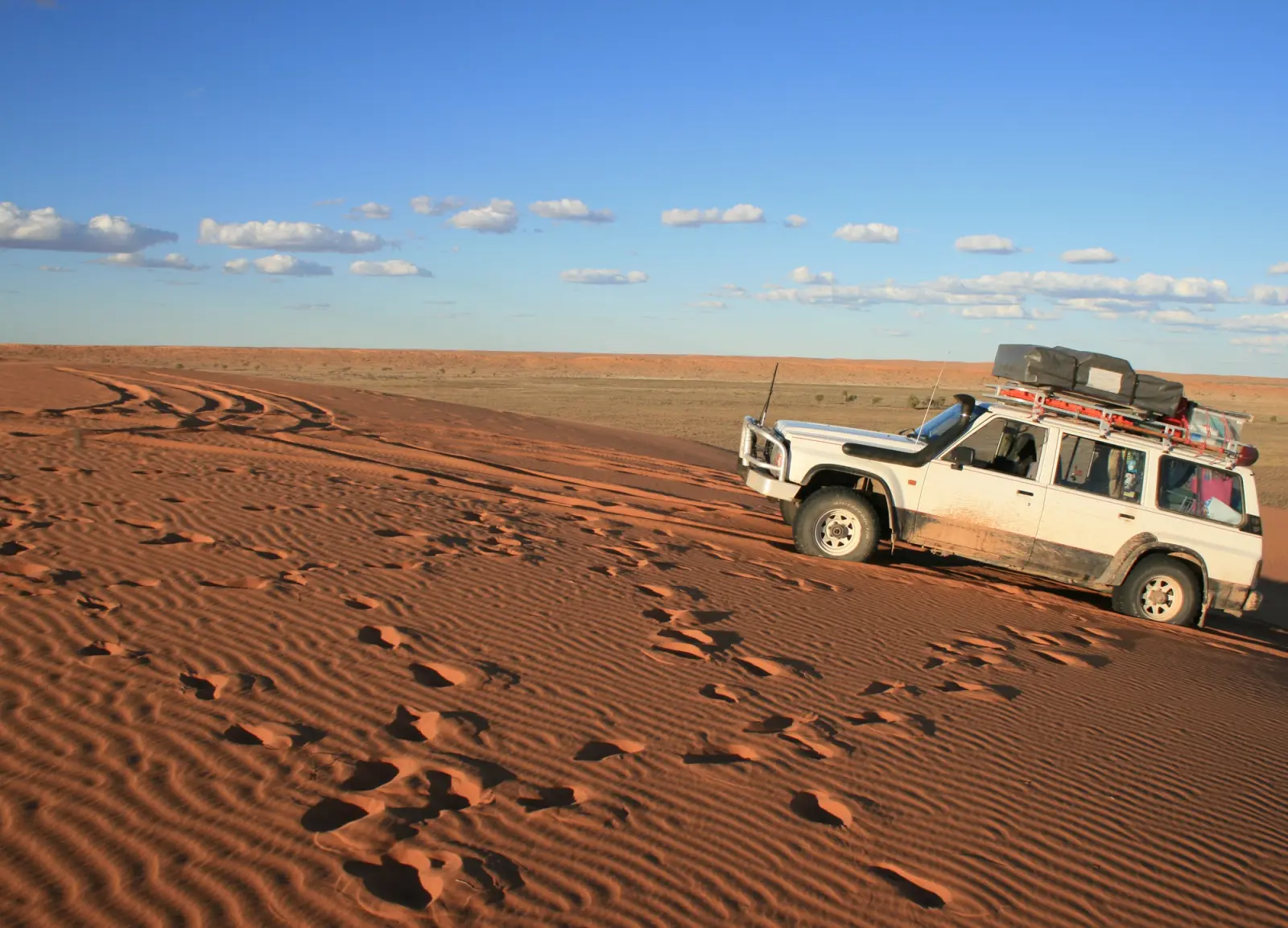
Modifications such as long-range fuel tanks, underbody protection, upgraded suspension and rooftop tents are common inclusions for setups undertaking the journey. They’ll help you and your vehicle enjoy a comfortable crossing. If you’re planning any modifications before a major trip, checking they are covered under your insurance policy is also important.
Permits, Convoy Etiquette and Communication
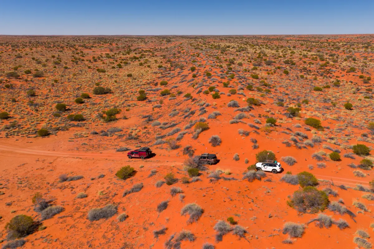
A convoy of 4X4s travelling through the Simpson Desert
Before entering the desert, you’ll need the appropriate permits. Depending on your route, this may include a Desert Parks Pass for South Australian sections of the crossing and the relevant Munga-Thirri National Park permits in Queensland. Both can be purchased online through the respective state park authorities prior to departure.
When a trip like this is planned, a minimum of two vehicles is strongly recommended. A convoy provides additional support if any issues, mechanical or otherwise, arise. When travelling in this fashion, maintain sensible spacing between vehicles, particularly when approaching dune crests, and use your UHF radio to advise oncoming traffic of your location.
Finally, leave a detailed trip plan with family or friends and consider carrying a satellite phone, personal locator beacon (PLB) or emergency position indicating radio beacon (EPIRB). Mobile coverage is effectively non-existent once you’re inside the desert’s border, making independent communication equipment a vital safety measure.
Send It With Confidence: Cover for the Crossing
A well-planned Simpson Desert crossing is as much about the physical preparation of your vehicle as it is about the contingencies that may never see the light of day. Things like PLBs and insurance are there to protect you from the realities of remote-area travel. From punctures and breakdowns to unexpected recoveries, preparation for these is just as important as the next dune.
That's where specialist 4WD insurance comes into its own. Club 4X4 is designed around the way Australians actually use their vehicles. Whether you're touring remote tracks, towing a camper trailer or heading deep into the desert, it's important to know what support is available if plans don't go quite as expected.
One inclusion worth understanding before any Simpson trip is off-road recovery, which comes standard with Club 4X4 insurance. When you're hundreds of kilometres from the nearest town, knowing you have access to specialist recovery support can be a genuine reassurance.
The Simpson Desert remains one of Australia’s great 4WD adventures. With the right preparation, the right equipment and the right cover, you can focus less on the “what ifs” and more on the red dunes ahead.
From the Simpson to the High Country
We cover anywhere you can legally go in Australia