If you spend enough time travelling Australia and I mean properly travelling it, not just ducking up the coast for a weekend, you eventually learn that the weather report is not background noise. It is a tool. A warning. A route planner. A safety device. And sometimes, a complete and utter stitch-up.
The surprising truth is that most people do not actually know how to read a weather report beyond the headline. Ask three people what “30 per cent chance of rain” means and you will usually get three different answers, none of them quite right. That misunderstanding is how people get caught out by flash floods, road closures, boggy clay tracks, and late-night storms that turn a calm campsite into chaos.
This yarn is not about complex meteorology or scientific jargon for the sake of it. It is about the parts of the forecast that actually matter to 4X4ers, campers and anyone spending real time outdoors. Once you understand how to read a forecast properly, you can start working with the weather rather than reacting to it.
What Rain Percentage Actually Means
When your weather app says “30 per cent chance of rain”, it does not mean it will rain over 30 per cent of the area or for 30 per cent of the day. It means there is a 30 per cent chance that any rain at all will fall at your exact location.
Meteorologists call this POP, or probability of precipitation.
The practical version is simpler:
- 80 to 90 per cent means it is almost certainly going to rain
- 50 per cent is a genuine coin toss
- 10 to 20 per cent means nature has reserved the right to ruin your day
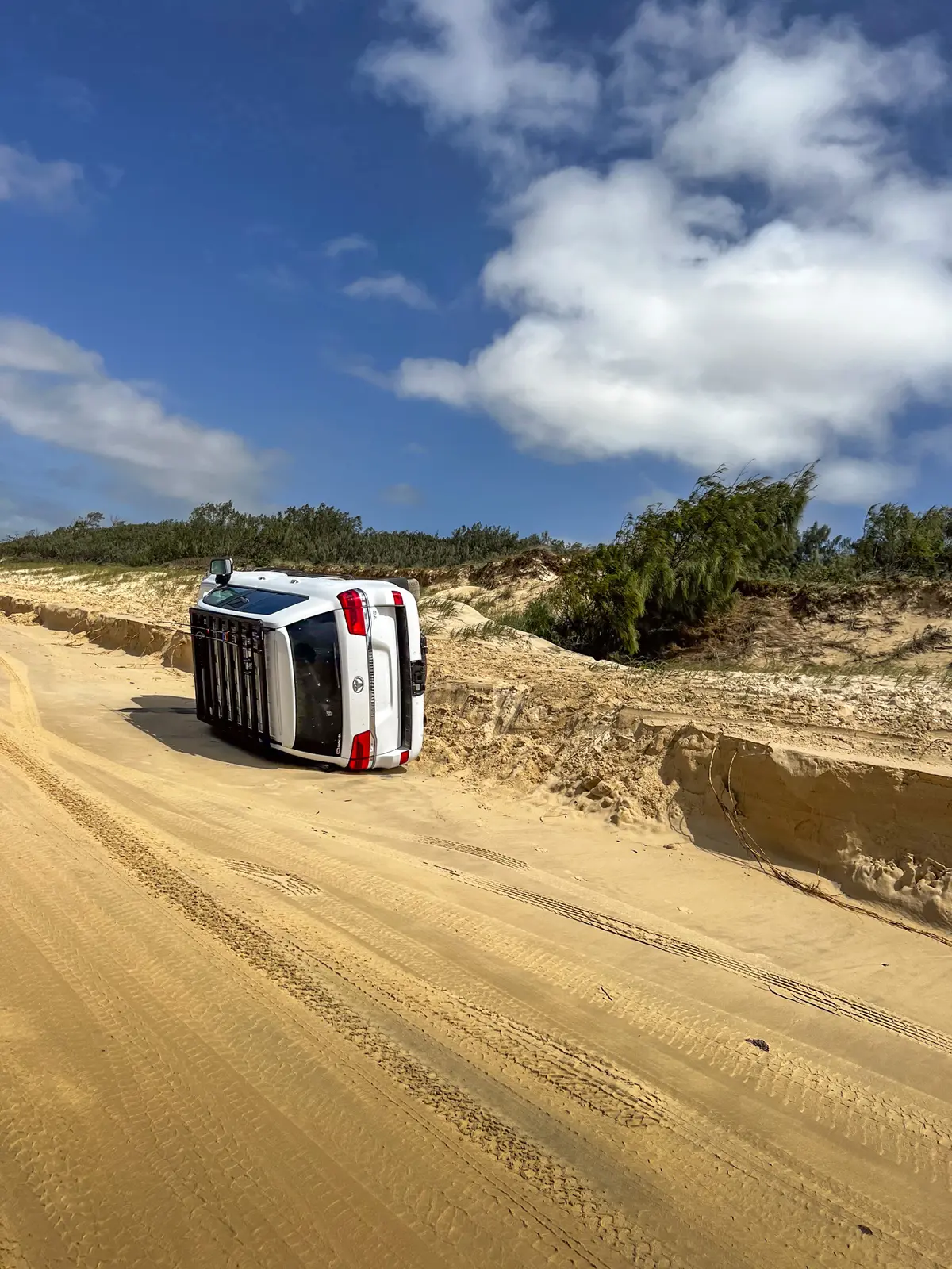
For touring, a small chance of rain is never something to dismiss. On blacksoil, bulldust or clay-cap roads, conditions can turn from safe to slippery in minutes.
Understanding Hectopascals (hPa)
Pressure is one of the most useful pieces of weather information available, yet it is one of the most ignored. Hectopascals, shown as hPa, tell you whether the atmosphere is stable or unstable.
Low pressure, roughly 995 to 1010 hPa, usually signals unstable air. This is where storms, rain, wind, and sudden changes come from.
High pressure, roughly 1015 to 1030 hPa, usually means stable conditions. Clear skies, calmer days, cooler nights, and more predictable weather.
For 4X4 touring, falling pressure is often your first warning that rain or storms are on the way. Rising pressure usually means the weather is clearing.
Use a weather app that shows pressure; it is one of the simplest ways to anticipate a change before it hits.
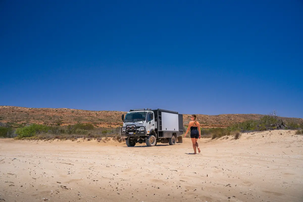
a 4x4 truck on a beach with a woman walking towards it
Wind Direction and Why It Matters for 4WD Travel
Most people check wind speed and stop there. Wind direction often tells you more about what is coming. Knowing helps you choose campsites, assess beach conditions, and understand whether the day will get more humid, wetter, or colder.
Wind Direction on the Coast
Onshore winds bring swell, softer sand, higher tides and choppier water.
Offshore winds flatten the sea, firm up the sand and generally make beach driving easier.
Wind Direction Inland
Westerlies tend to be warm and dry. Southerlies bring cool changes. North easterlies along the east coast often drag in humidity and showers.
Reading the Clouds to Predict Weather
You do not need to memorise cloud types like you are studying for an exam. You just need to recognise a few patterns.
- Tall, towering clouds usually indicate storms or heavy showers.
- Thick, flat grey layers mean drizzle or steady rain.
- Thin, wispy clouds often signal an approaching front.
- Small fair-weather clouds are harmless until they grow vertically.
I see clouds as very honest. They will often tell you more than the written forecast does, but they can confuse you if you don’t know what you’re looking at, so it pays to watch and research the clouds closely for a week or two until you get the hang of it.
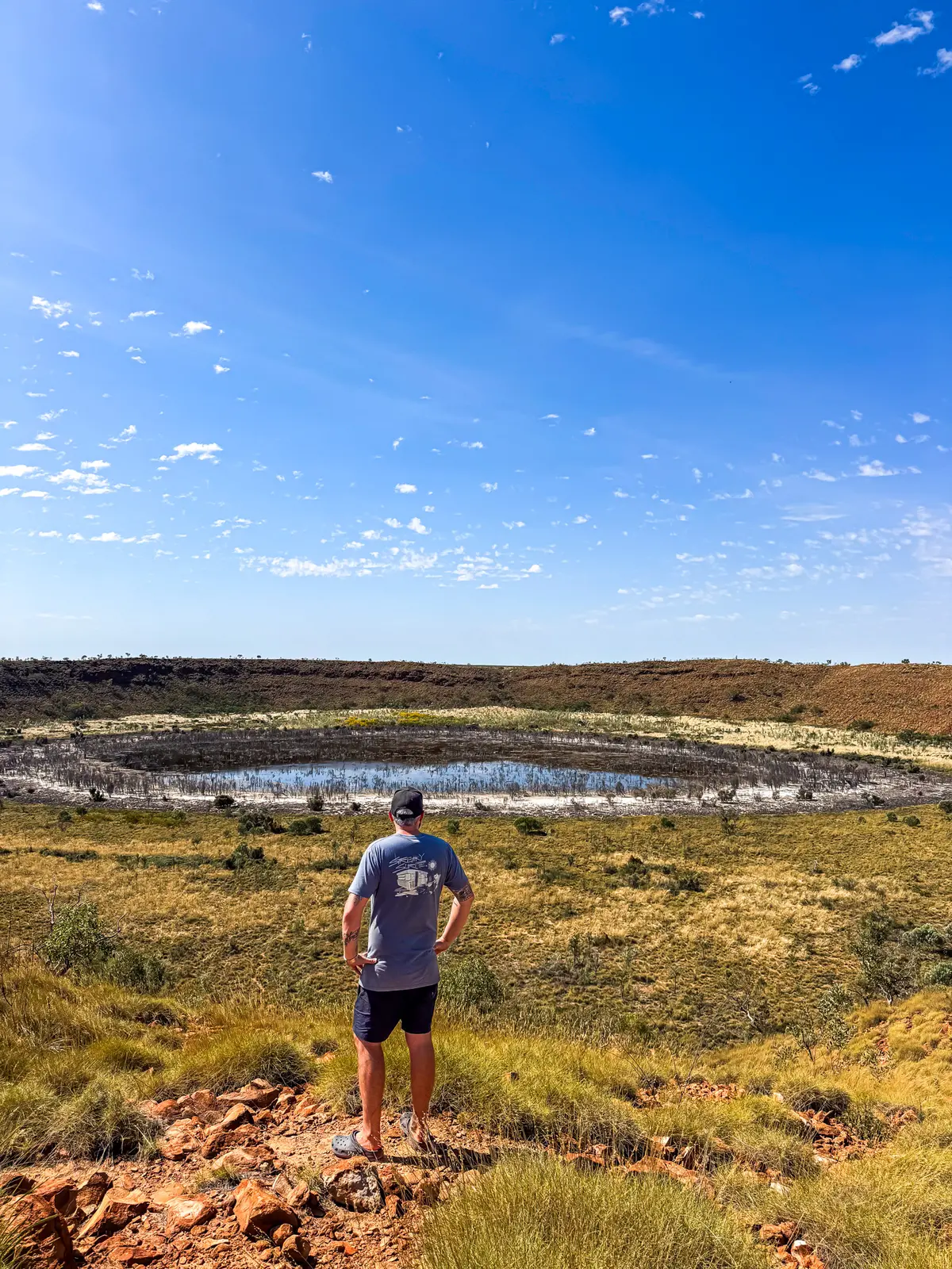
a man standing atop a ridge, looking out at a crater
Why Dew Point Matters to 4X4ers and Campers
Dew point is one of the most useful numbers for campers and one of the least understood. It is the temperature at which moisture condenses out of the air. When the temperature drops close to the dew point overnight, your swag, tent or windscreen will end up soaked.
- Below 10°C feels dry and cool.
- 10 to 16°C is mild and comfortable.
- 16 to 20°C feels humid and sticky.
- Above 20°C usually means tropical moisture and a higher storm risk.
If you have ever woken up to a wet swag even though it never rained, the dew point was the reason. Well, that or you had way too many beers before bed.
The Practical Effects of Humidity
Humidity affects far more than comfort. High humidity combined with a rising dew point can fuel storms. Engines can feel lazier; gear dries slower, and fire risk can change quickly.
Low humidity, particularly under 30 per cent, means dry air. That often correlates with higher fire danger, more dust and rapid dehydration.
The UV Index Is Not Just About Sunburn
The UV index is more than a “remember to use sunscreen” number.
In remote travel, the UV index affects dehydration rates, gear degradation, cabin heat build-up, and solar performance. Australia’s UV levels can be extreme even on cooler days. Even on cool days, UV can be intense enough to burn quickly and heat vehicles far faster than expected.
How to Actually Use Weather Radar
Radar is incredibly powerful if you know what you are looking at.
- Cell speed shows how fast storms are moving. A fast-moving cell that looks far away may be overhead sooner than expected.
- Colour intensity shows rainfall strength. Reds and black usually indicate severe rain or hail.
- Looking at the trailing edge of a storm is just as important as the leading edge, because a “break in the rain” often masks additional cells forming behind the first.
Future radar images can be helpful but should not be relied on exclusively. Storms in the outback regularly develop in minutes.

man driving a 4x4 through the rain
The Weather App I Use When Touring Australia
I use the Windy weather app when travelling and rely on layers such as wind gusts, cloud base height, rain and thunder, humidity and wave height to build a clearer picture.
On the coast, wave height and wind gusts determine whether beach driving is even possible. Inland, thunderstorms and humidity layers can help you anticipate storms long before they form.
Switching between layers gives a much fuller picture than relying on a single forecast. I also utlise the Apple Carplay widgets, which gives me a weather station feed on my dash.
Using Weather Knowledge for Safer 4WD Travel
Imagine you are heading up a red dirt track in the Pilbara. The forecast says a 40 per cent chance of rain. Pressure is falling. Wind shifts from southeast to northeast. Dew point is climbing. Large vertical clouds are building.
That combination tells you the atmosphere is becoming unstable and moisture is increasing. Even with a “40 per cent chance” on paper, the real-world signs point towards a significant risk of rain. On red dirt or clay, even ten minutes of rain can turn the track into a completely different animal. That is when you choose a high campsite, avoid creek beds and reconsider pushing deeper into a country that becomes impassable when wet.
Once you learn how to properly read the weather report, your touring changes. You become calmer, safer, and more prepared.
Weather looking the goods this weekend?
Cover anywhere you can legally go in Australia